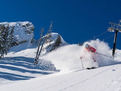
Featured Image: Gabe Rovick
Editor's Note: This story was originally published on Wednesday, February 18 and has been updated on February 19 to reflect the new information that has since been released.
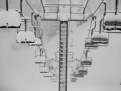
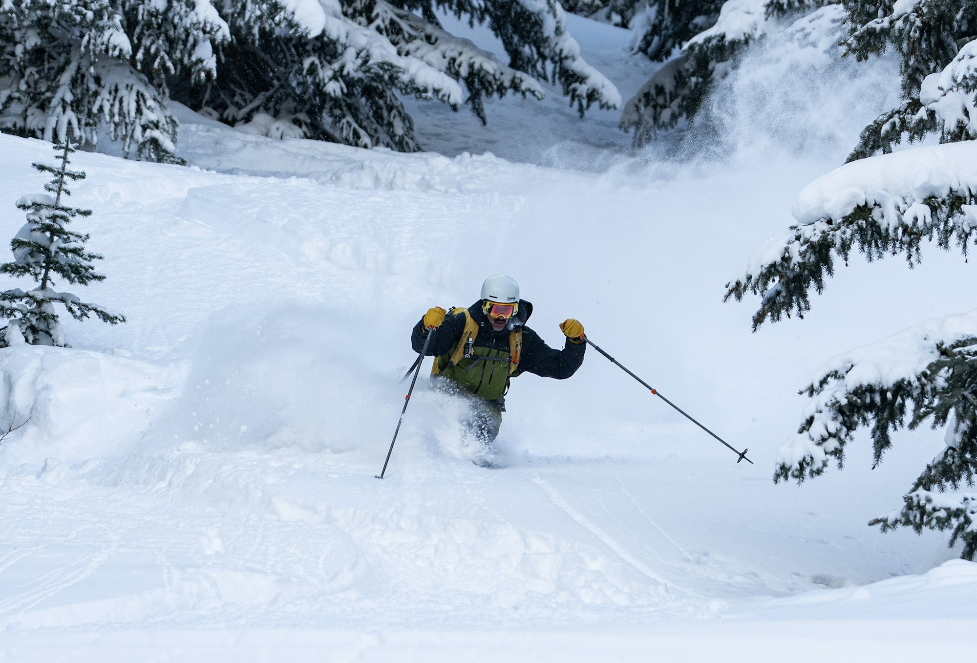
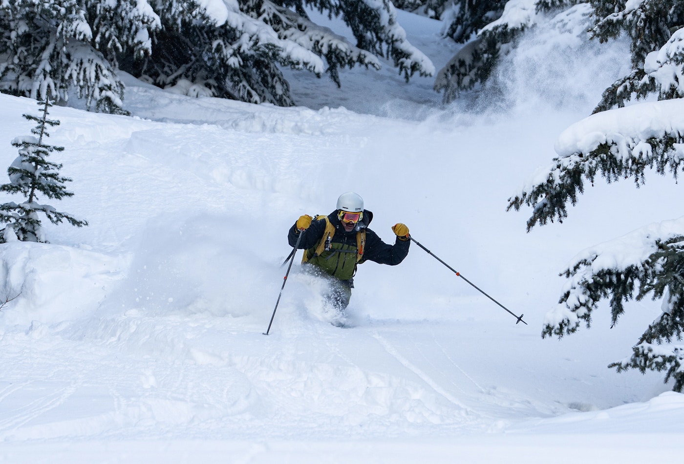
It's been a long, dry winter for much of the western United States and this atmospheric river has been heavily anticipated by skiers from the Mississippi River to the Pacific Ocean. The hefty storm cycle has made landfall in California and is now moving east into the rockies, dropping feet of snow and burrying a widespread weak snowpack. According to California forecasters, the state could see as much as eight feet of snow by the time the storm rolls out on Wednesday (February 18) evening.
When the snow surface sees extended periods of high pressure, it initially helps heal any existing instabilities in the snowpack but as the days drag on, temperatures start to fluctuate and the sun gets extended exposure on slopes, the snow on top starts to change in form. This becomes an unstable surface for new snow to fall on top of, kind of like a flimsy and unpredictable house of cards, and that's exactly what we're experiencing across the west right now.
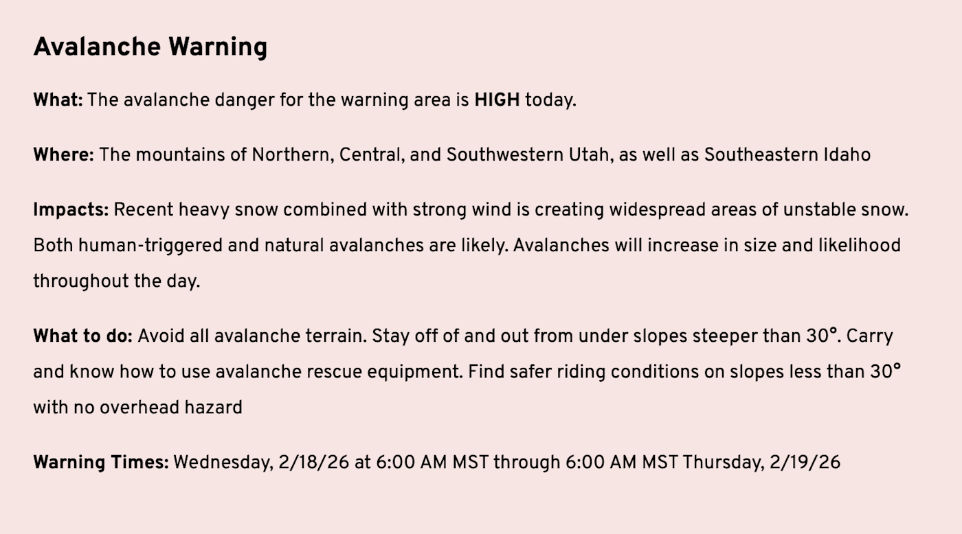
The Utah Avalanche Center has issued an avlanche warning for the Logan forcast zone on Wednesday, February 18, due to "drifted storm snow overloading a widespread layer of weak faceted snow on many slopes."
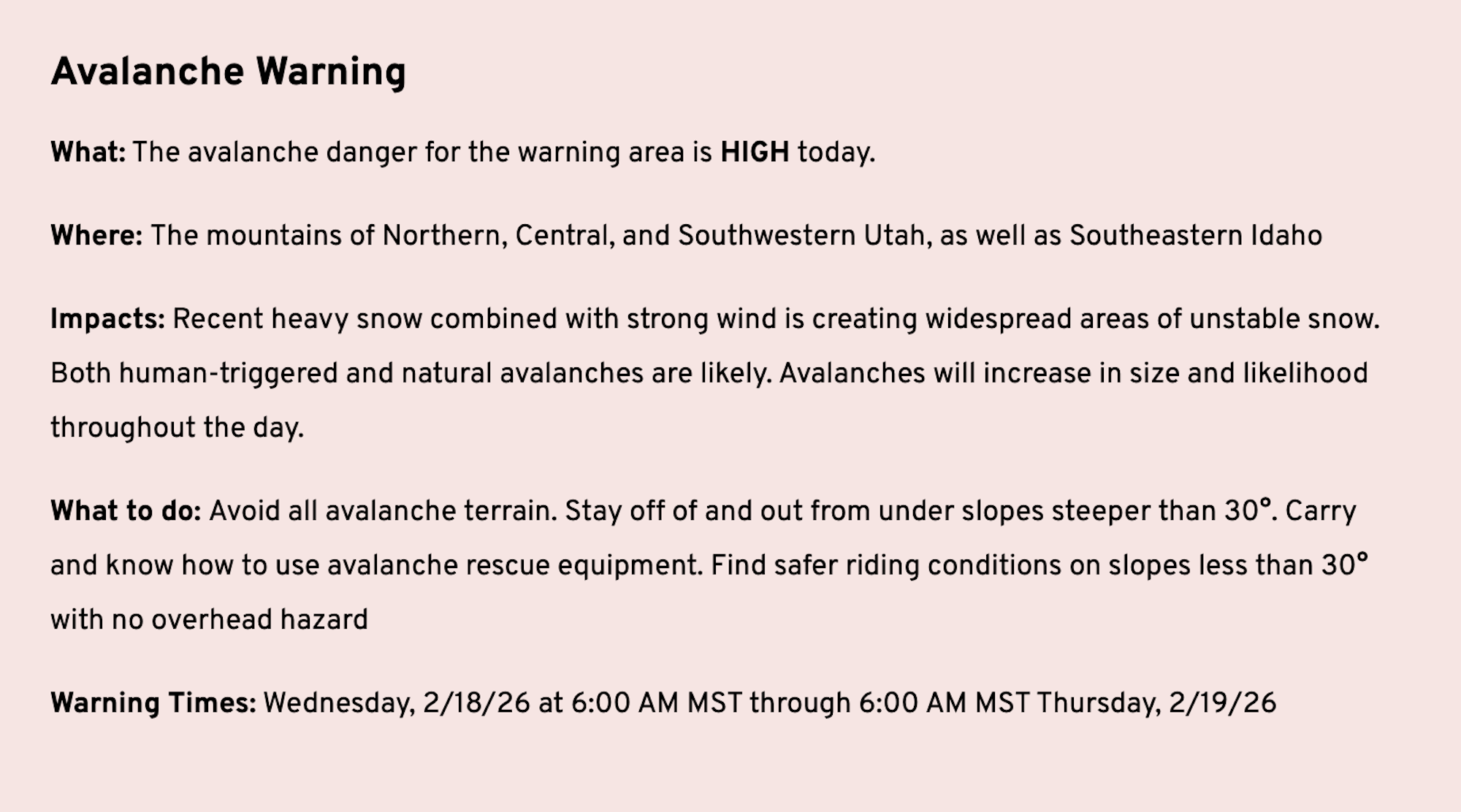
The Utah Avalanche Center has issued an avlanche warning for the Logan forcast zone on Wednesday, February 18, due to "drifted storm snow overloading a widespread layer of weak faceted snow on many slopes."
The Central Sierra and Eastern Sierra Avalanche Centers issued avalanche warnings for their respective forecast zones, as did the Sawtooth Avalanche Center in Idaho, the Flathead Avalanche Center in northern Montana and the Colorado Avalanche Information Center for many of its forecast zones on Tuesday, February 17. That same day, a group of 15—reported to be a mix of guests and guides—went out on Donner Pass near Truckee, California. The entire group, said to be on the final day of a hut trip, was caught in an avalanche in the Castle Peak area around 11:30 a.m. PST on Tuesday and as of Thursday morning, eight of the nine missing have been confirmed dead. To further complicate the rescue, the storm reached an intensity of two-three inches of snow per hour, making rescue efforts down right dangerous and shutting down many vital mountain roads, including Interstate 80. Travel in the region is essentially impossible right now and many of California's ski resorts, including Palisades Tahoe and Mammoth Mountain were closed yesterday because of the extreme storm. Our hearts go out to the friends and families of the victims as well as for those involved in the rescue.
To add salt to an already gaping wound, the Utah Avalanche Center has confirmed on Thursday morning the death of one skier on Wednesday, February 18. The skier was caught, carried and buried in the area between Snake Creek and Ant Knolls. Utah Avy is actively working to gather accident details and will share as soon as they come to light. Again, our hearts go out to the friends and family of the victim.
As of Wednesday morning an avalanche warning remains in effect in the Sierras of California, central and southeastern Idaho, all of Utah and much of Colorado. To get a full avalanche forecast of your local area, click here.
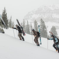
The temptation to get out into the backcountry and feast on all this new snow is there but this is when practicing patience becomes crucial to enjoy the remainder of this season and ski seasons to come. Avalanche conditions are downright dangerous right now, and need a moment to settle. Take advantage of what your local resorts have to offer or travel in backcountry zones that are clear of avalanche terrain—stay off of and well out from under slopes steeper than 30 degrees.