Featured Image: Gabe Rovick
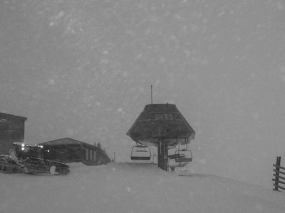
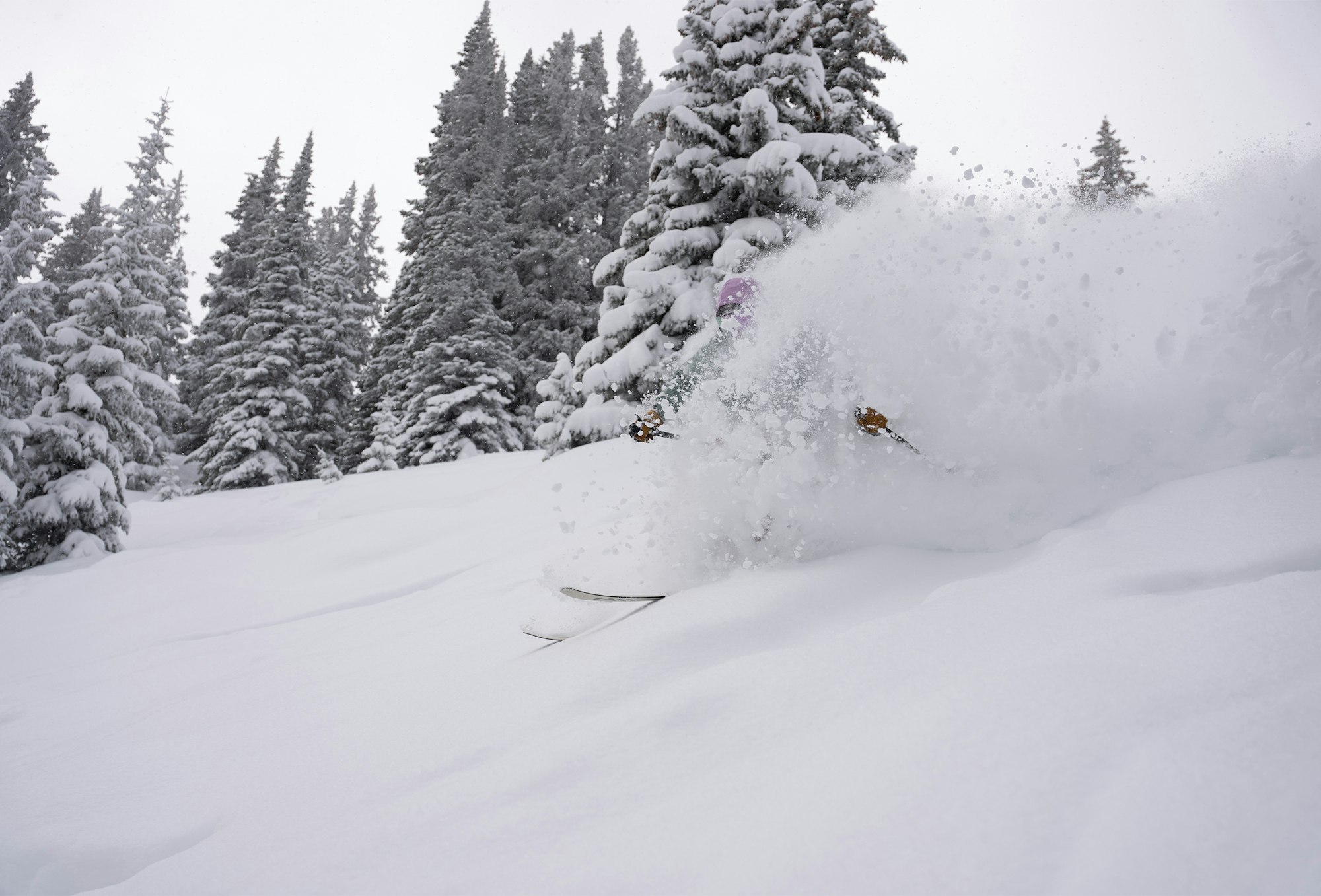
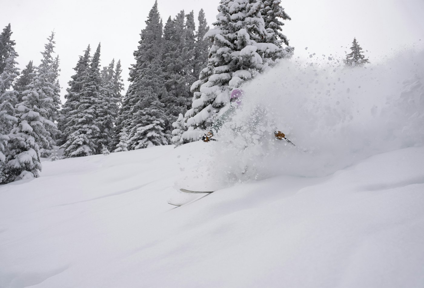
We don't want to speak too soon, but this week's storm cycles are a promising indication that winter might actually be here in the Mountain West. According to OpenSnow, this week's storm totals from Mammoth Mountain in California, to Alta Ski Area and Snowbird in Salt Lake City's Little Cottonwood Canyon will be better measured by the foot, rather than in inches.
The first storm cycle rolled in Monday, November 16, landing in Tahoe and is now tracking from the southwest to the northeast into Utah and across the Northern Rockies. Southern Colorado gets a little bit of this first storm but is more favored for the second storm, set to hit Tahoe and the Sierra Nevada range on Wednesday, November 18. As this second storm moves inland, this one is going to split, reaching all of the Rockies but the southern half is looking like it's going to see the more significant snow totals. While this first storm is a little warmer, with higher snow lines and wet, dense snow, the second storm will already have a colder airmass in place, which means lower snow lines and drier snow—aka cold smoke powder.
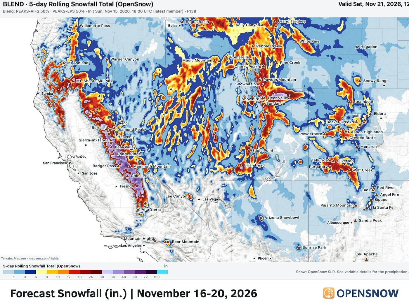
Photo: Courtesy of OpenSnow
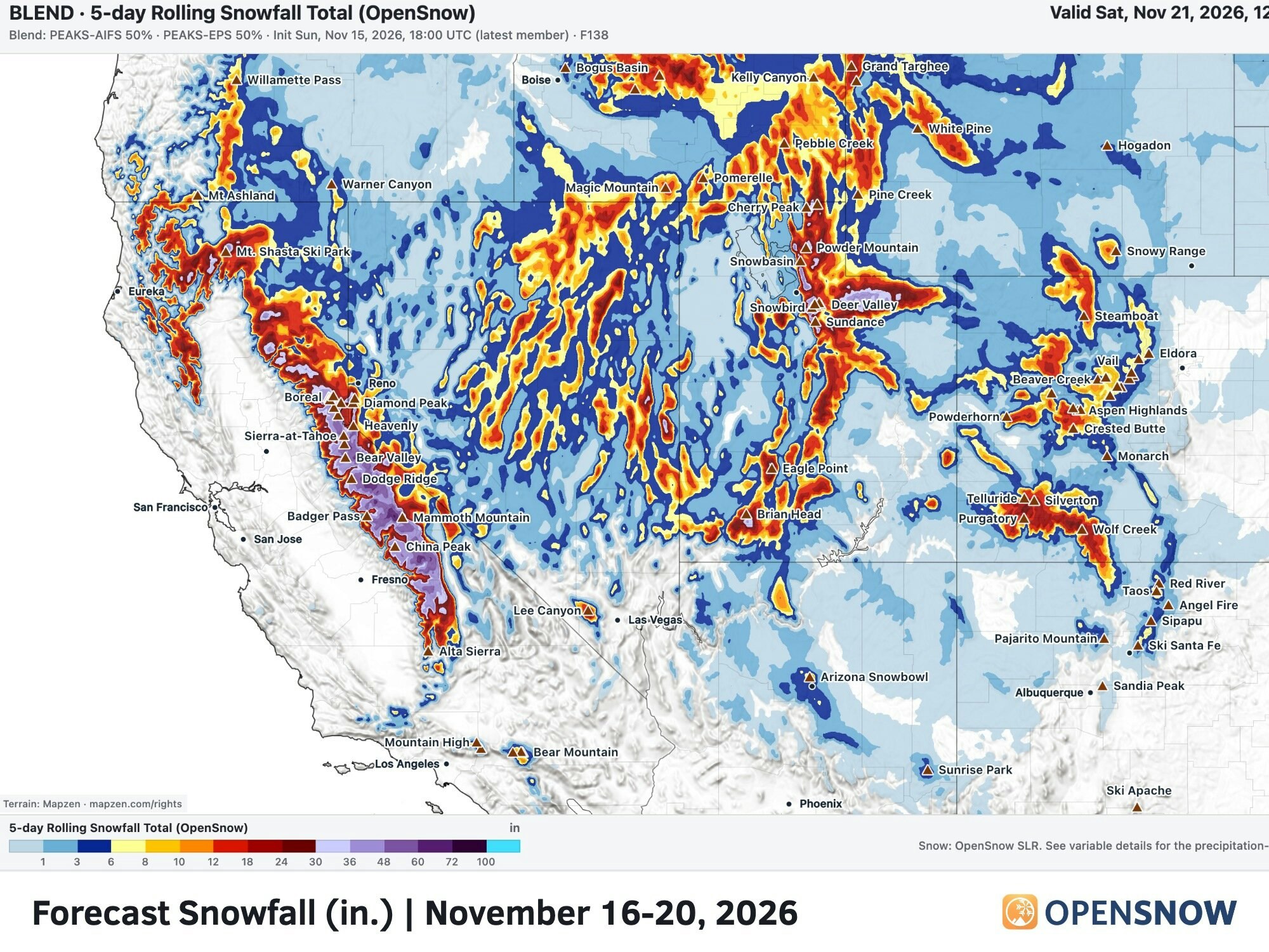
Photo: Courtesy of OpenSnow
Projections from OpenSnow's PEAK 2.0 model is stating total snowfall from these two storms in the next five days to be 3-5 feet across Tahoe and the Sierra Nevada Range, 2-5 feet across Utah and 1-2 feet across Southwest Colorado. Northern Colorado will see just 4-12 inches from this cycle. 6-16 inches is projected for Southern Idaho into Western Wyoming and Southwest Montana and minimal snow is expected to hit north of the Canadian border.
Projected Totals For This Week:
Alta Ski Area - 50 inches (4 feet)
Snowbird - 50 inches (4 feet)
Kirkwood - 50 inches (4 feet)
Mammoth Mountain - 49 inches (4 feet)
Palisades Tahoe - 49 inches (4 feet)
Park City - 37 inches (3 feet)
Heavenly - 33 inches (2.75 feet)
Mt. Rose Ski Tahoe - 29 inches (2.5 feet)
Grand Targhee - 22 inches
Wolf Creek - 15 inches