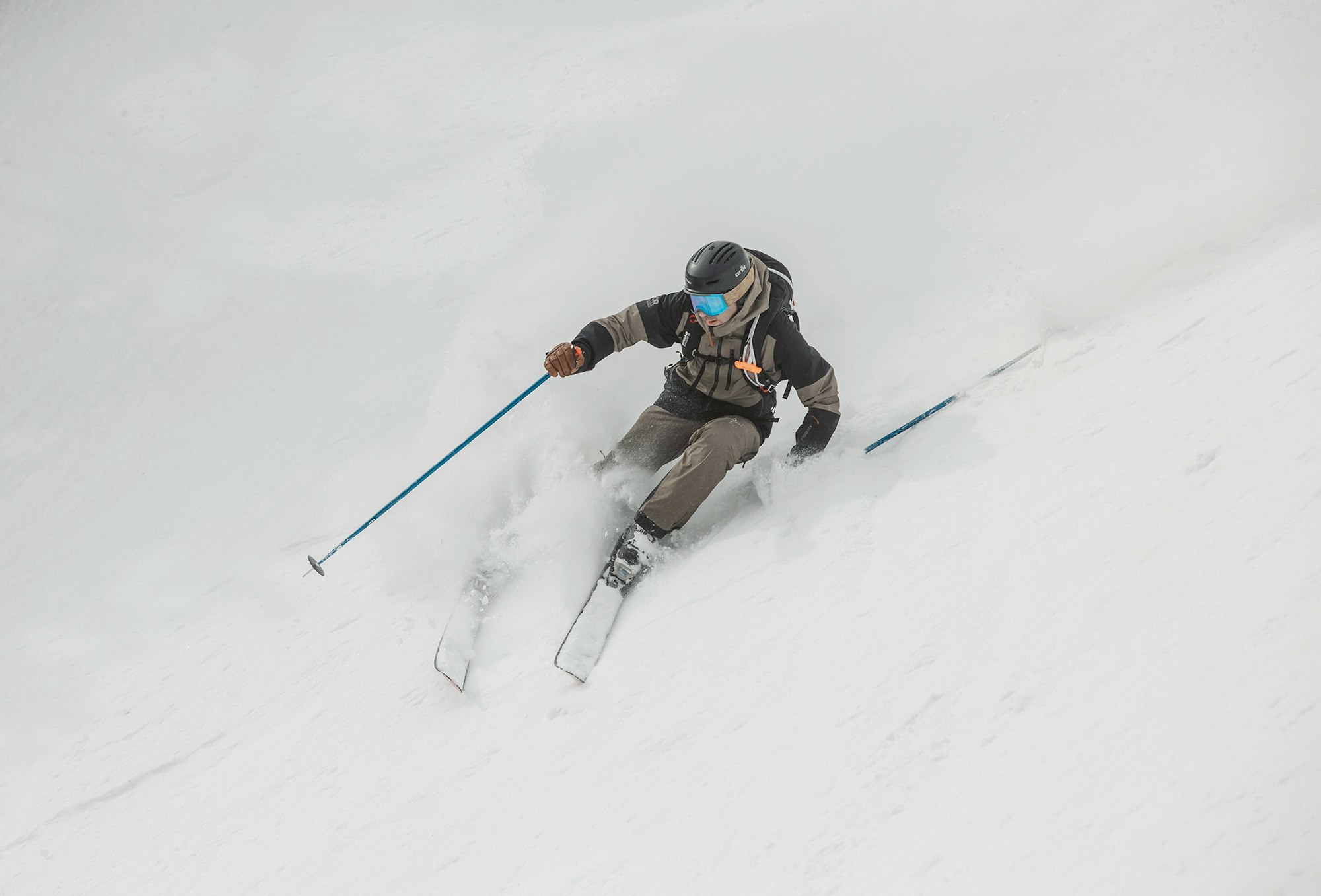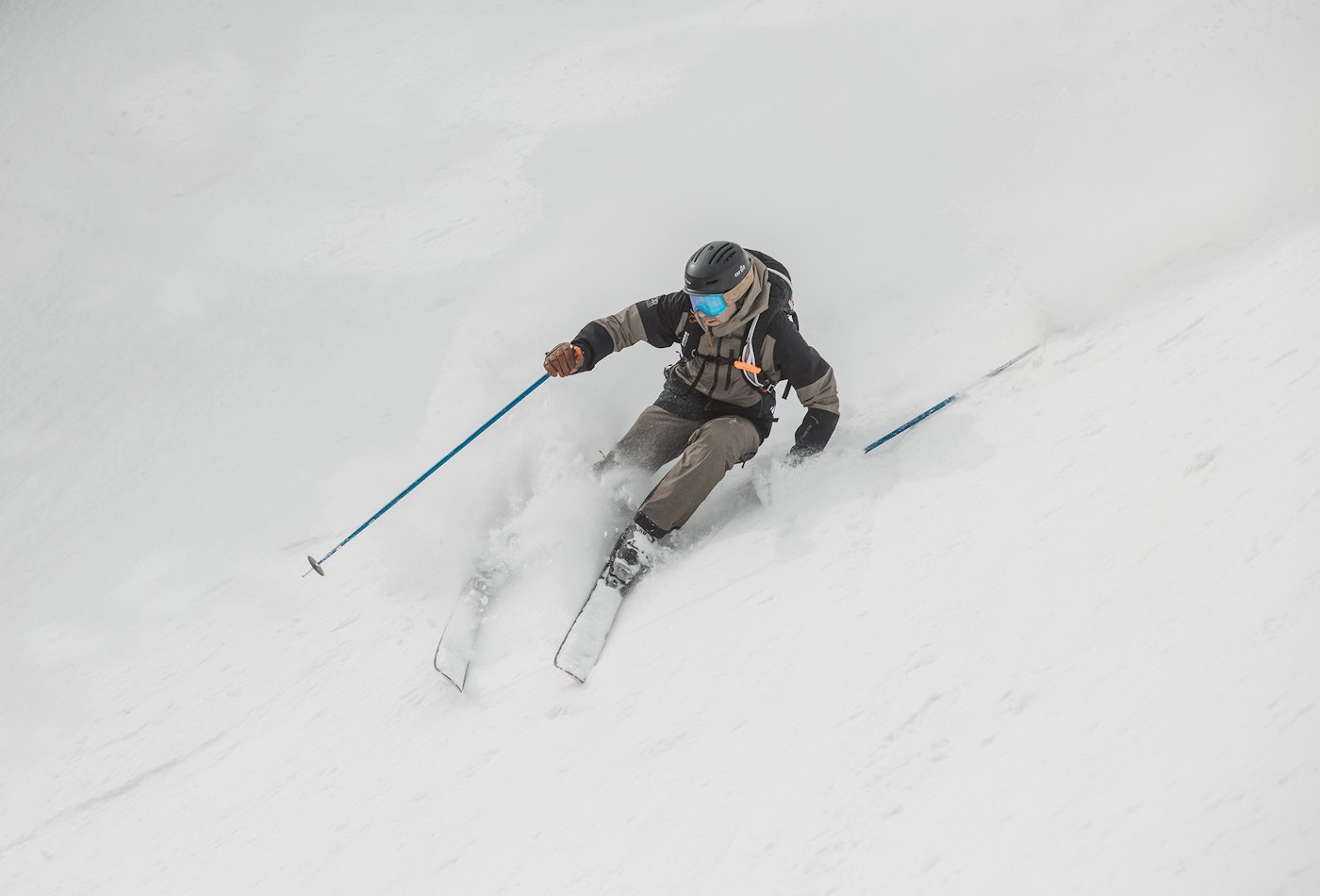
Featured Image: Elise Sterck
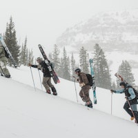
Spring moved into the West early this year but winter is not letting go without a fair fight. A stormfront moved into the Pacific Northwest and Canada earlier this week, dropping over two feet of fresh at Mt. Bachelor, and now it's making its way into the Northern and Central Rockies Friday and Saturday, and tomorrow, with the highest snow totals projected for Wyoming and Montana.
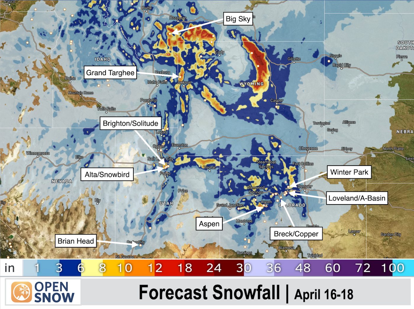
Image courtesy of OpenSnow
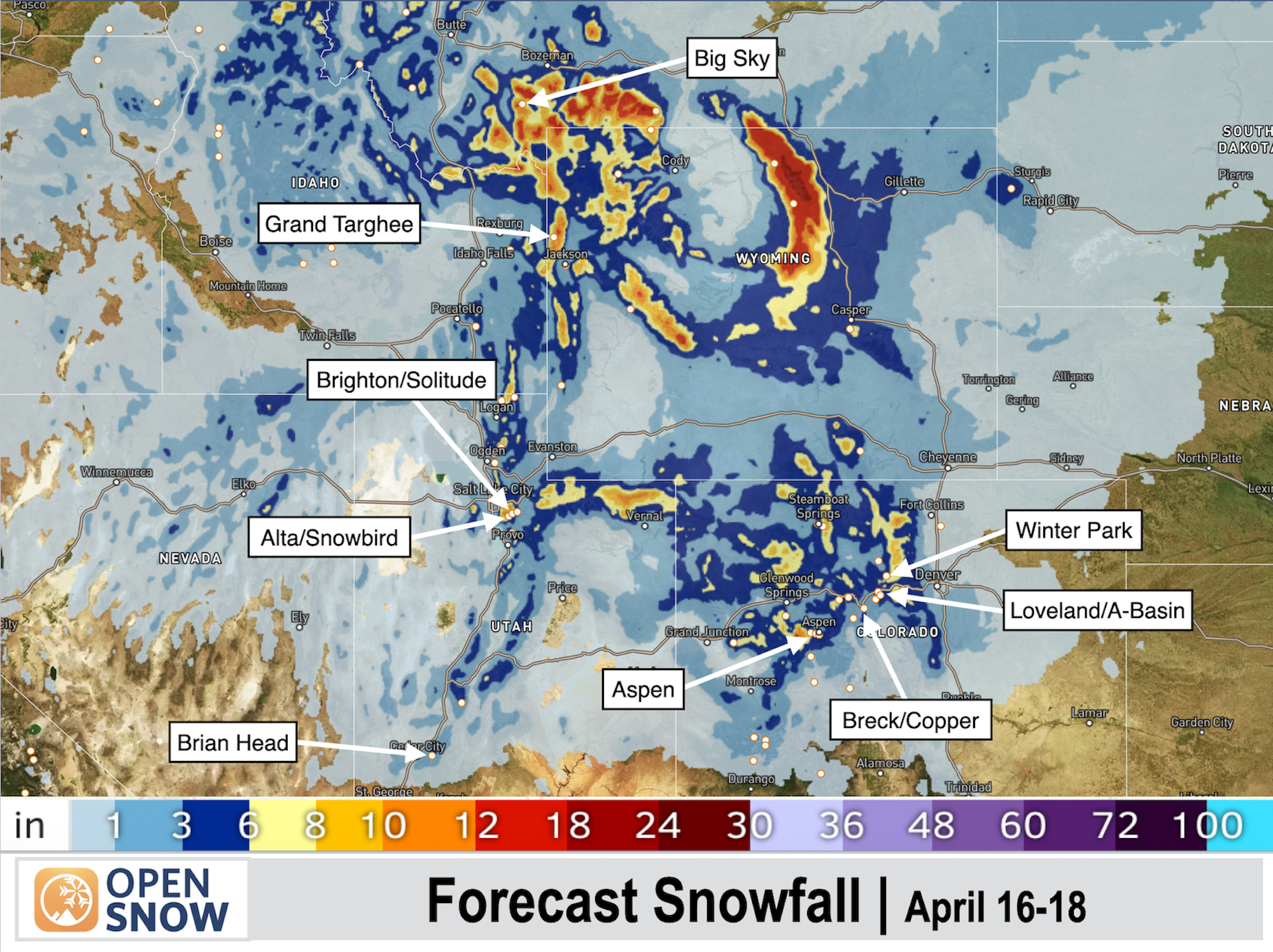
Image courtesy of OpenSnow
According to OpenSnow, Grand Targhee and Big Sky seem to be the favorites this storm cycle. Big Sky has already seen 11 inches of new snow, and another 11 inches are predicted to fall by the weekend. Big Sky is currently only open for the weekends, which means it's going to be deeeeep Saturday morning. Grand Targhree has also seen seven inches, with another seven fell Friday and Saturday. Utah and Colorado will see some frozen precipitation from this storm but nothing more than a few inches of dust on top of the established spring crust.
High pressure and warmer temperatures return after this weekend but the OpenSnow radar is showing another storm cycle brewing in the Rockies April 24 & 25. It's too early to say if the projected snow totals will materialize but here's to hoping winter holds on just a little while longer.