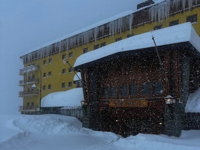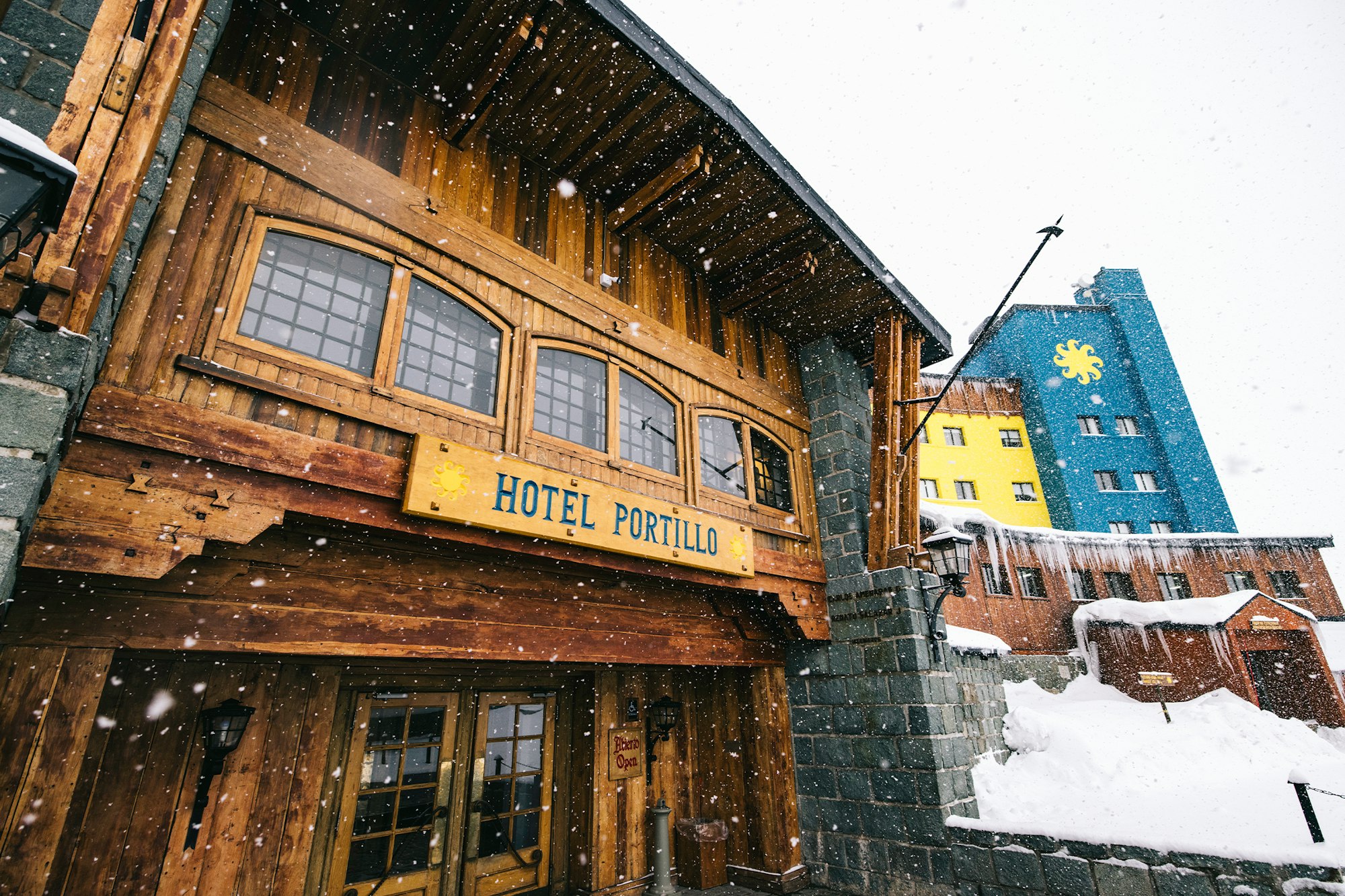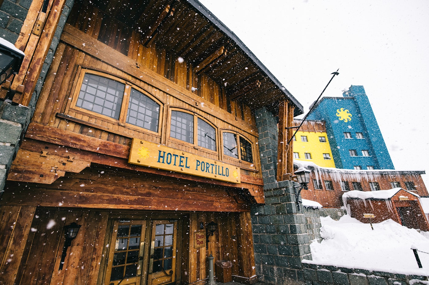
Featured Image : Andy Cochrane | Location : Ski Portillo, Chile
For months, expert meteorologists have warned of a strong El Niño the likes of which we've rarely encountered. This level of consensus among such a crowd is uncommon and usually means they're on the right track. Now, South America is getting its first taste of what this El Niño is capable of, with a massive storm forecast to dump over 200 inches of snow in parts of the Andes over the next 15 days.
Click here for a deep dive into the science and an explanation of El Niño and La Niña systems.
If those numbers seem like a typo, rest assured that is accurate as of 7/15/26. An upper-level low-pressure system began forming off the Chilean coast just a few days ago and is expected to remain anchored there for at least the next week.
According to OpenSnow meteorologist Luke Stone, this system will keep the atmospheric river directed at the central Andes for several days. "This is a recipe for huge snow totals," Stone wrote, "with two to four meters (six to thirteen feet) in the northern zone possible if the latter part of the storm cycle delivers. The models indicate this could be a Category 4, or possibly Category 5, atmospheric river."


The storm made landfall on July 14, with 24-hour snow totals expected to peak on Friday, July 17. Central and Northern zones, including Valle Nevado, La Parva and Ski Portillo, will see the most intense precipitation. The snow level will be around 6,000 feet, with winds being a big issue during much of the storm.
Meteorologist Luke Stone's Big Takeaways:
-
Massive long-duration storm fueled by a powerful atmospheric river.
-
Precipitation totals are through the roof. Expect flooding and possibly landslides at lower elevations and copious amounts of heavy snow in the mountains.
-
Snow quality will generally improve later in the storm. Later this weekend and early next week, there is a chance of some potentially low-density snow on a bottomless, dense base.
If you're in Chile or Argentina, urging caution is an understatement. While the storm will certainly lay down a dense base, which is extremely needed in the Andes at the moment, it will also create wildly hazardous conditions early on. Stay tuned for more information in the coming days, and as always, live to ride another day!
![[GIVEAWAY] Win a Full 26-27 Ski Setup from Fischer](https://www.datocms-assets.com/163516/1790101711-00012060-edited.jpeg?w=200&h=200&fit=crop)