Featured Image: Gabe Rovick
The 2025/26 ski season has been off to a wild, borderline unpredictable start across North America. The latest ENSO Diagnostic Discussion from the National Oceanic and Atmospheric Administration (NOAA) offers insight into what we might see in the coming weeks and months.
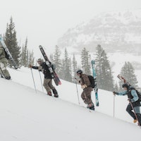
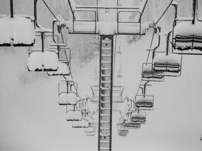
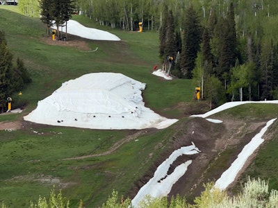
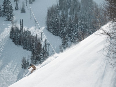
Parts of the East Coast are wrapped in a blanket of white, while skiers in the Rocky Mountains are struggling to find enough snow for a single turn as ski areas like Alta delay opening day. Lake Tahoe is mostly blue and green, but just south, Mammoth Mountain is planning to open six chairlifts and ample terrain this weekend.
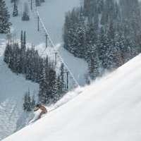
Jay Peak, Vermont, has amassed a staggering early-season total, stacking 40" in 48 hours during just one stretch of this November mega-storm cycle. No soft opening, the resort will unveil over 30 trails this weekend as they officially start their season.
But we're not focused on the next few days; we're looking towards the next few months, as are our friends at NOAA. Earlier this week, the administration's Climate Prediction Center released the latest El Niño/Southern Oscillation (ENSO) Diagnostic Discussion.
If you're not familiar with that long-winded title, the ENSO cycle refers to ocean surface temperatures in the Pacific Ocean. This weather system has a massive impact on precipitation in North America and around the world. That's why you always hear skiers barking about La Niña this and El Ñino that.
Find a detailed analysis of ENSO term descriptions in our latest NOAA Update.
El Niño is more common, according to NOAA, and it's characterized by above-average ocean surface temperatures for multiple months. (Five consecutive three-month overlap periods to be exactly. Ex: Nov-Dec-Jan, Dec-Jan-Feb, Jan-Feb-Mar, and so on).
La Niña means a sustained cooling average of Pacific Ocean surface temperatures, which creates a high-pressure system off the coast of America. When temperatures remain within a 0.5°C range of the average, it's referred to as ENSO-Neutral.
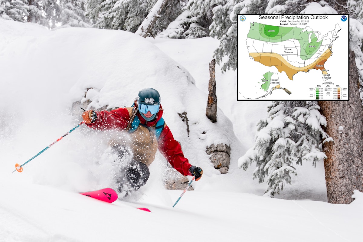
As for what's happening now, the Climate Prediction report issued by NOAA on November 13 confirms that La Niña is expected to continue into this winter, though a regression to ENSO-Neutral is favored at 61% to occur by March at the latest.
Historically, La Niña pushes cold temps and more snow to the Western U.S./Canadian border, as well as the Northeast. It leaves the middle section of the country with equal chances of an above-average or below-average winter. Though typically, we see more snow falling in the PNW than in the Central Rockies during these years.


NOAA precipitation outlook for December - Feburary (left) and February - April (right)


NOAA temperature outlook for December - Feburary (left) and February - April (right)
In the near future, we should expect to see the weather shift more consistent with La Niña starting in the next few days. We this is being written, temperatures are swinging below average along the U.S./Canadian border.
NOAA's three to four week outlook (published November 14) is calling for exactly this, showing above-avergae precipitation through Idaho, Montana, Wyoming and parts of Washington and northern Colorado, as well as throughout the Northeast. Expect temperatures to remain at or below average everywhere expect for the Southeast. (Sorry skiers in Florida, this isn't your winter.)
Stay tuned for another update as winter rolls in, and keep an eye out as more resorts open in the coming days, including Mammoth Mountain, Palisades Tahoe, Jay Peak and more!