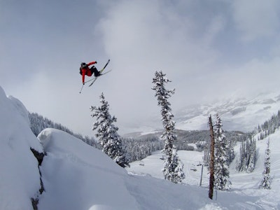
Colorado Powder Forecast for week of Jan. 13
HIGHLIGHTS
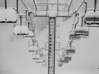
Bit of snow coming Thursday night
Multiple powder days Sunday > Tuesday
Deepest snow from Vail up to Steamboat
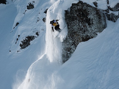
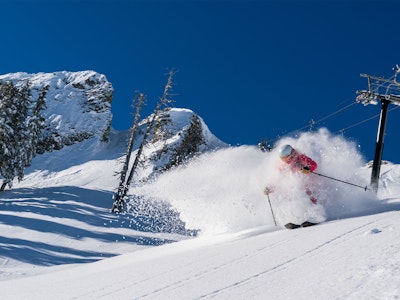
After a powdery (and cold!) Sunday and Monday, the last few days have been a nice little reprieve from the snow. However, with a low January sun and cold temperatures, the snow quality is still great.
We're getting back into a more typical La Nina pattern where the storms favor the northern mountains. This will be the case for at least the next week as areas from I-70 and north up to Steamboat should be the big winners.
First, a quick-moving storm will bring some snow to most mountains between midnight Thursday and Friday morning, but this isn't the big story.
More notably, a train of storms will move across northern Colorado from the northwest on Sunday, Sunday night, Monday, and Monday night. I expect constant refills of powder during this time with some very deep totals by Tuesday morning. If you're heading to the mountains this weekend, you should probably extend your stay through Tuesday!
Find detailed snow forecasts for each ski area at ColoradoPowderForecast.com.
-JOEL GRATZ